Interactive Trailhead Map
Topo • Dark • SatelliteElevation Gradient Profile
Trail Description
Fraser River via Bridge Road in Agassiz is a super mellow riverside walk that feels more like a casual stroll than a hike. At 4.3 km with only 37 m of elevation gain, it’s flat, easy, and a nice way to stretch your legs while still getting those big Fraser River views. Locals use it as a quick after-work walk, a dog walk, or a low-key outing with friends.
The trail follows an out-and-back route along the Fraser, topping out at around 34 m, so you’re basically walking at river level the whole way. You get open views of the water and surrounding mountains, and on clear days it really shows off how scenic the Agassiz area is without needing to grind up any hills. It’s wide and straightforward, so you can relax and just enjoy the river, watch the current, and listen to the train or highway in the distance.
Recent visitors say Fraser River via Bridge Road is good for dogs, a light workout, and hanging out by a campfire on the beach, so plan to linger at the riverbank if conditions and local rules allow. The route is very easy and usually takes under an hour, but give yourself extra time if you want to sit by the water. It’s generally accessible year-round, though expect mud, puddles, and slick sections after rain or during spring, and always keep an eye on river levels and fire restrictions before you go.
Trail Features & Highlights
(3)Suitable Activities
(4)Community Trail Reports
1 ReportsSign in to share trail conditions, post summit photos, and auto-log this hike in your profile.
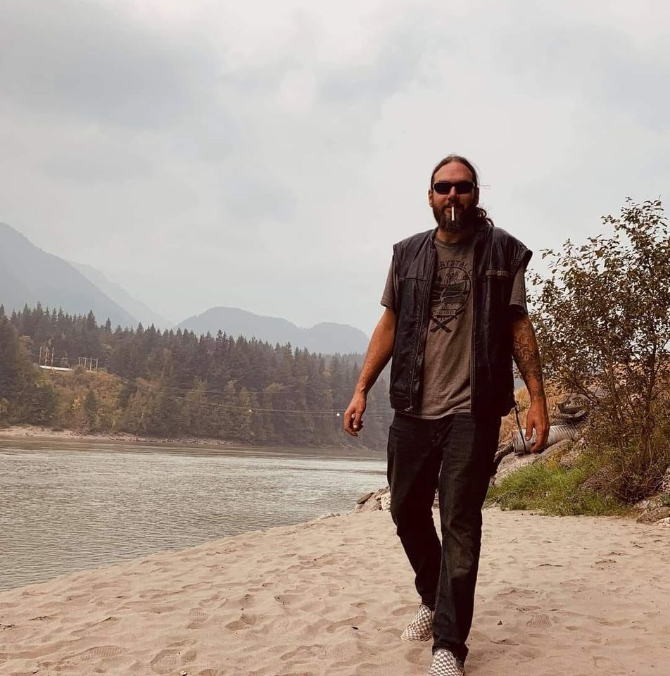
Beautiful spot! Good fishing in the area as well. Watch old fire pits on the river, lots of old burnt up pallet fires and nails everywhere.
Offline GPS Navigation
90% of BC trailheads have zero cellular reception. Download the GPS track before heading into the backcountry.
Driving DirectionsBC Wilderness Safety
- Pack the 10 outdoor essentials
- Carry bear spray & know how to use it
- File a trip plan with AdventureSmart BC


